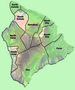


Most people I talk to about the weather are concerned about rainfall and temperature. You can see from the map above exactly where on the island rainfall is highest and where it is lowest.
Temperature varies, in general, with elevation. At sea level, temperatures range from the low 70s to the high 80s throughout the year. At elevation 1200, temperatures may get down to the low 60s or even high 50s during the winter months. On the top of Mauna Kea, the temperature can go down to below 25 (degrees) F.
I have heard it said that there are microclimates on the Big Island, where the sun shines year around or it is much more likely to be raining. I'm not talking about Hilo compared to Kona. I'm talking about parts of Kona. Some people swear that it rains all the time in one area along a stretch of highway; others, such as myself, will tell you that when it's raining in Kailua-Kona, go out to the Old Airport State Park (3 minutes from the pier), and you may find it's not raining.
Check out hurricane seasons. I've been living here since 1987, and the only hurricane that really affected Kailua-Kona, on the leeward side of the island, during that time was Hurricane Iniki in September 1992 which devastated Kauai. The Central Pacific Hurricane Center (CPHC) issues tropical cyclone warnings, watches, advisories, discussions, and statements for all tropical cyclones in the Central Pacific from 140 Degrees West Longitude to the International Dateline. The season officially begins on June 1 and ends on November 30. However, tropical cyclones can occur at any time. The National Weather Service Forecast Office in Honolulu activates the CPHC when: (1) a tropical cyclone moves into the Central Pacific from the Eastern Pacific, (2) a tropical cyclone forms in the Central Pacific, or (3) a tropical cyclone moves into the Central Pacific from the West. (This paragraph was copied word-for-word from this site.)

The Hawaii tsunami story can be reviewed on the U.S. Geological Survey site.
Current Satellite visual imagery:

Please see my Volcanoes page and my Topography and Geography page for more physical information about the Big Island.